3D Laser Scanning
3D laser scanning is a cutting-edge technology that captures highly detailed and accurate 3D data of physical objects and environments. It uses laser beams to measure distances and create point clouds, which are then used to generate detailed 3D models. This technology is widely used in various industries, including construction, architecture, engineering, and heritage preservation, to provide precise and comprehensive data for planning, analysis, and visualization.
- High-Definition Surveying (HDS)
- As-Built Documentation
- BIM Integration
- Virtual Reality (VR) and Augmented Reality (AR)
- Clash Detection
- Historic Preservation
- Quality Control and Inspection
- Site Analysis and Planning
- 3D Modeling and Visualization
Other Survey Services
Frequently Asked Questions
What is 3D laser scanning used for?
3D laser scanning captures highly detailed point-cloud data used for high-definition surveying, as-built documentation, BIM integration, clash detection, historic preservation, quality control, and 3D modelling and visualization for construction and engineering projects in Dubai and the UAE.
How does 3D laser scanning help with BIM projects?
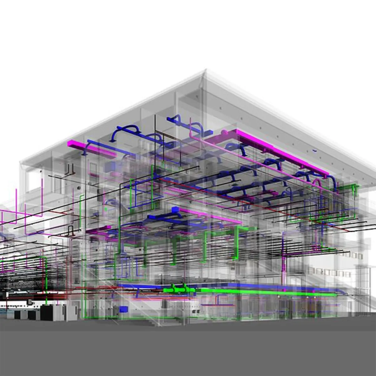
Laser scan point clouds are imported directly into BIM software for accurate as-built modelling, clash detection between MEP and structural elements, and coordination across design and construction teams, reducing costly rework.
Can 3D laser scanning be used for heritage buildings?
Yes, 3D laser scanning is widely used for historic preservation, capturing precise geometry of heritage structures for restoration planning, archival documentation, and virtual reality (VR) or augmented reality (AR) visualization.
What is the difference between 3D laser scanning and drone mapping?
3D laser scanning captures highly detailed, millimetre-accurate data of buildings and interiors, while drone mapping survey covers larger outdoor areas for site-wide progress monitoring and volume calculations. We often combine both for complete project documentation.