Drone Mapping Survey
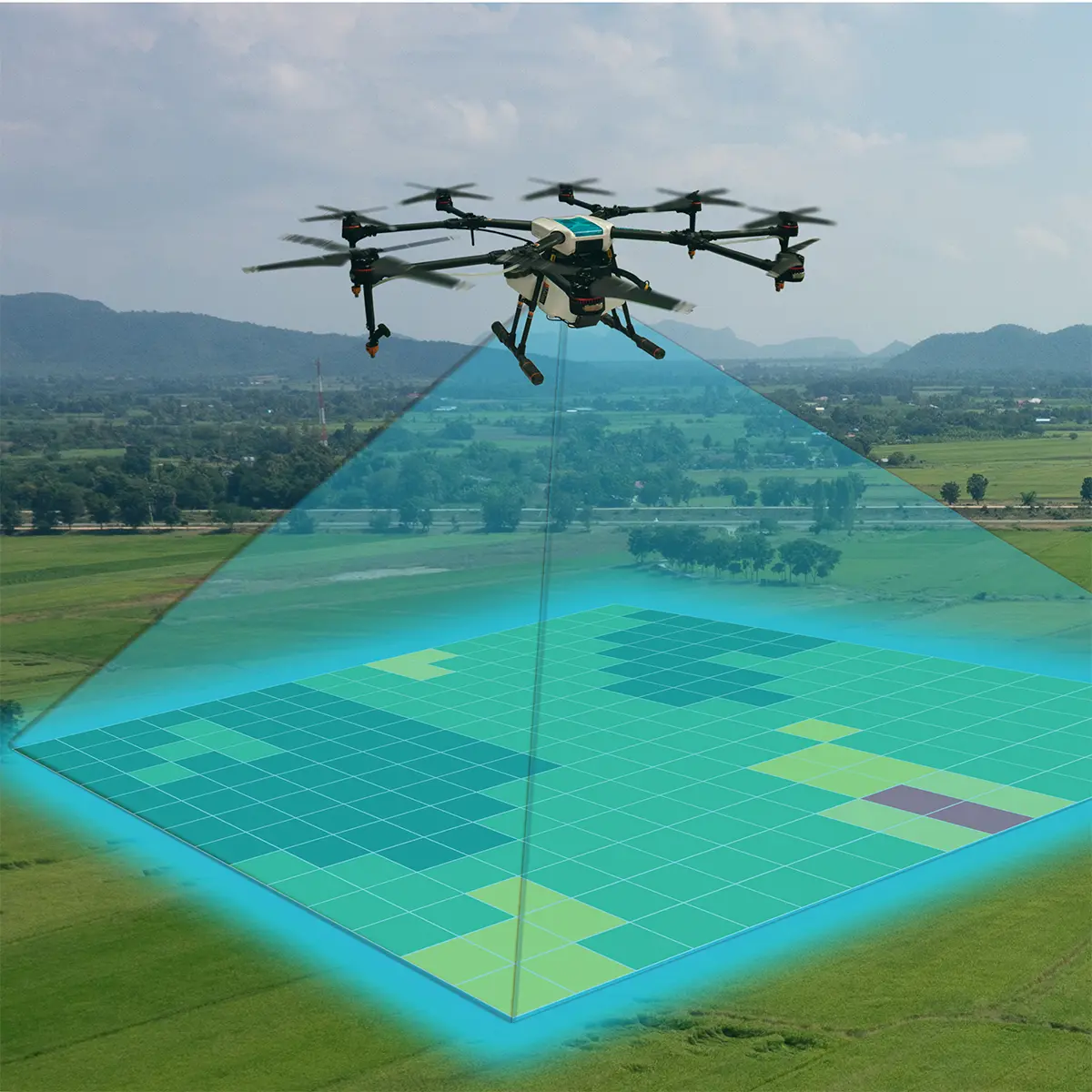
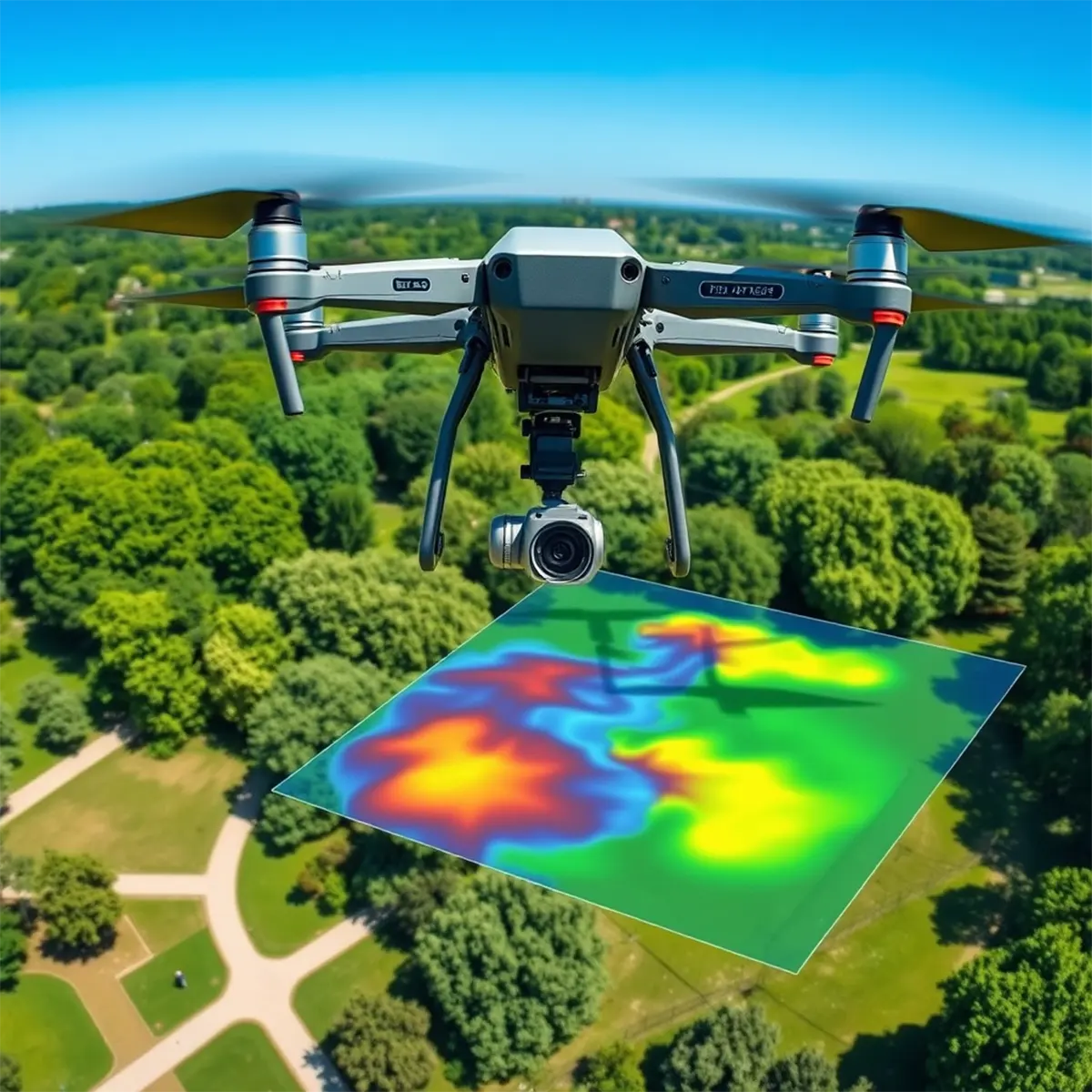
Aerial drone mapping leverages advanced drones equipped with high-resolution cameras and sensors to capture detailed imagery and data of large areas. This technology transforms raw data into accurate 2D and 3D maps, providing valuable industry insights. In construction, it accelerates site surveys, monitors progress, and enhances safety inspections. It also supports environmental assessments and volume calculations, ensuring projects are executed efficiently and accurately. Aerial drone mapping offers a cost-effective, time-saving solution that enhances decision-making and reduces risks.
- Site Surveying
- Progress Monitoring
- Volume Calculation
- 3D Modelling
- Safety Inspections
- Environmental Monitoring
- Solar Panel inspections
- Roof Inspections etc