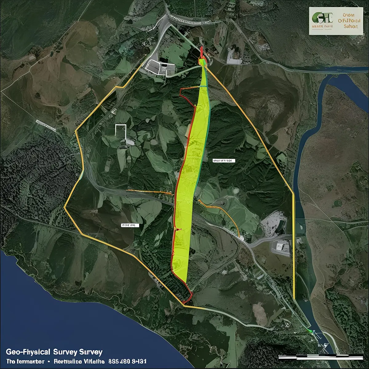
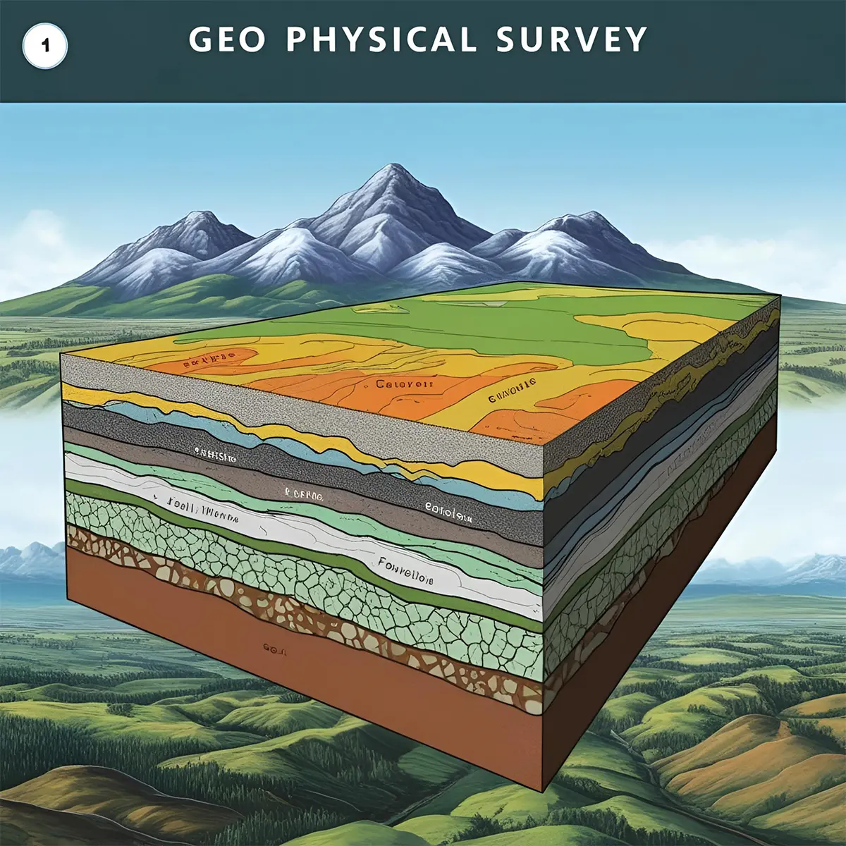
Geophysical Survey & MASW
Geophysical surveys are essential tools used to gather detailed information about the subsurface conditions of a site. These surveys employ various geophysical methods to detect and map the physical properties of the earth's subsurface, such as electrical conductivity, magnetic susceptibility, and seismic velocity. This data is crucial for a wide range of applications, including construction, environmental assessment, and resource exploration.